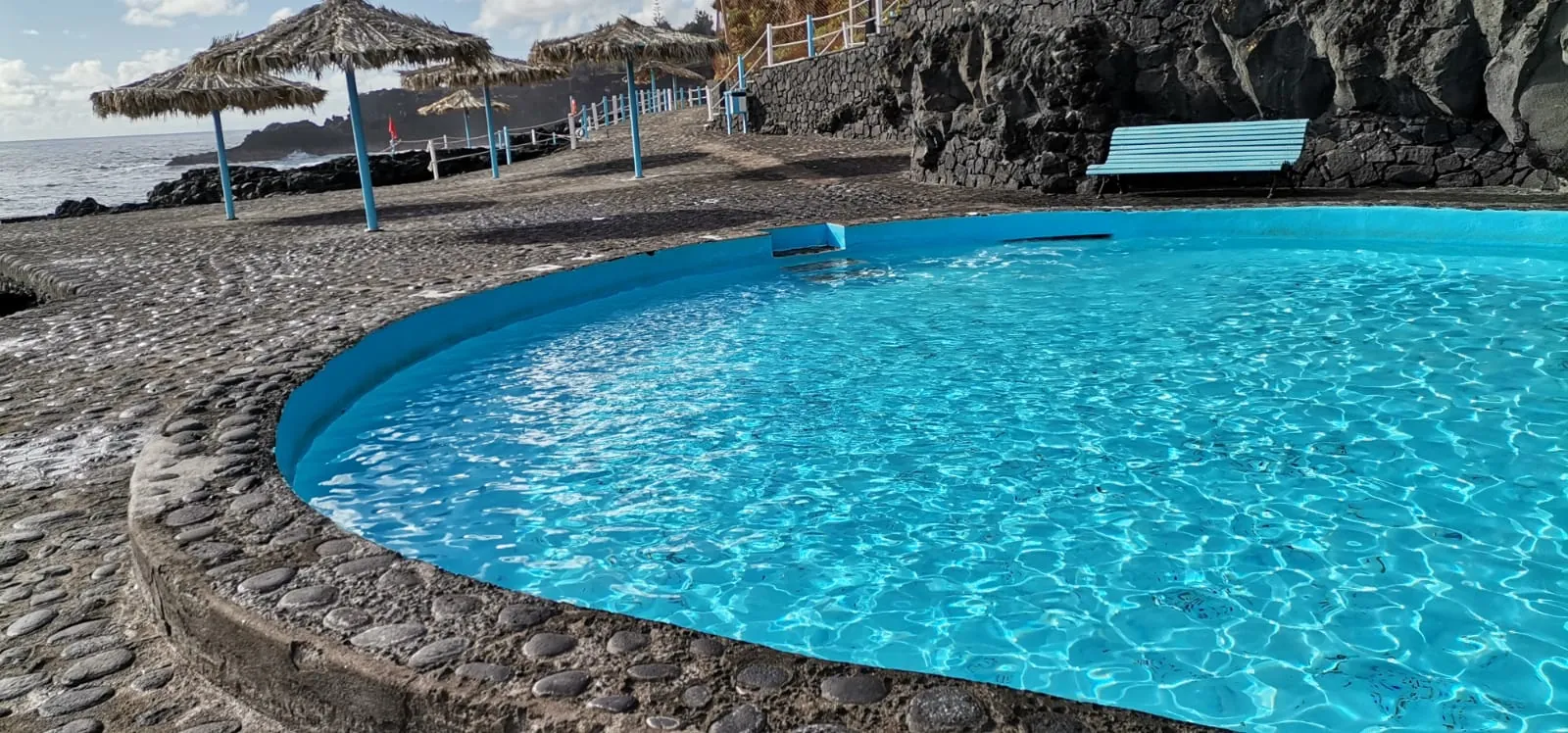
The trail passes about 1.5 km from El Tendal / Charco Azul, where this adventure takes place.
From El Tendal to San Andrés on foot, a swim in the Charco Azul and lunch by the sea in Puerto Espíndola. Guided on your phone. Free: all you need is your email.
Plenty of water, food, warm clothes, a rain jacket, a hat and sun cream, hiking boots and a charged phone. Check the weather and tell someone your route. The route climbs to 2274 m and it gets chilly up there: take a sweatshirt too. And if you want to wear La Palma, our island T-shirts.
No significant difficulties except those due to the length of the route and the height difference involved.
After heavy rain, take care on the steepest sections and below cliffs: there may be damage to the trail.
Private vehicle or car.
All year round.
Camino de La Faya is of sufficient entity to warrant walking its whole length. Nevertheless, the layout of the Footpath Network in this zone allows numerous path combinations and tailoring of hikes to individual requirements. The local footpaths (SL) 126 and 131 provide alternative departure and arrival points, further north, while the 123-124 and the 132 connect with the PR LP 16 and PR LP 18 respectively, allowing circuits to be done in the evergreen zone. A glance at the footpath map will be much more clarifying than any information supplied here.
Source: Cabildo de La Palma – Trail Network (open data and official trail sheet). Altitude: Copernicus DEM via Open-Meteo. Conditions can change: always check the official trail sheet before setting off. Emergencies: 112.
Notifications
Safety · New
Official warning · PR LP 17
Adverse weather warning. Take care: check the weather and avoid ravines and exposed areas.
Source: Gobierno de Canarias · Emergencias — El Gobierno de Canarias declara la prealerta por riesgo de inundaciones en el archipiélago
Official wind alert. We advise against doing the route while it lasts.
Source: Gobierno de Canarias · Emergencias — El Gobierno de Canarias declara la situación de alerta por viento en las islas occidentales y Gran Canaria
Official wind alert. We advise against doing the route while it lasts.
Source: Gobierno de Canarias · Emergencias — El Gobierno de Canarias declara la situación de alerta por viento en las islas occidentales y Gran Canaria
We use our own and third-party cookies (Google Analytics and Meta) to understand how the site is used and to show you ads for our adventures. You can accept or reject them: the site works the same. Cookie policy